
A commitment to innovation and sustainability
Envirodrones brings your company the ability to turn your landscape into intellagble understandable data that will enhance the sustainability of your landscapes environment and assist you in protecting the long term viability of your business.
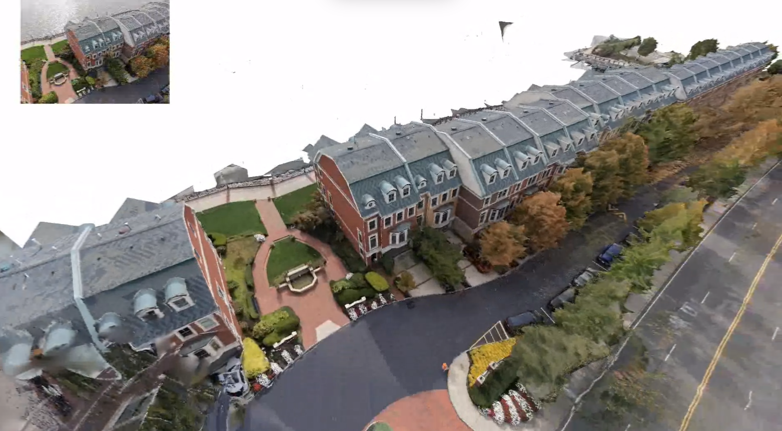
3D Modelling and Mapping
A passion for creating spaces
Our comprehensive suite of professional services caters to a diverse clientele, ranging from Public Affairs to Farming, Waste Management and Enviromental Organisations.
Video Production
Drones are increasingly used in public affairs campaigns to enhance visual storytelling, improve event coverage, and increase audience engagement through unique aerial perspectives. In public relations and corporate communications, they are employed to showcase facilities, produce high-quality marketing content, and provide live, immersive views of events, which can boost brand reputation as modern and innovative.
Photogrammetry
Photogrammetry is the process of creating accurate 3D models and measurements from hundreds to thoudsands of 2D photographs taken from different angles. By joining multiple overlapping images taken from different angles, software creates a 3D model, visualising the spatial position and texture of objects, buildings, or terrain. It is widely used in surveying, archaeology, flora audits and mapping, and 3D rendering of buildings and infrastructure.
Thermal Imaging
Thermal-capable drones use infrared sensors to detect heat signatures, making them essential for search and rescue, firefighting, industrial inspection (such as identifying gas leaks and themal dangers), and wildlife monitoring. They excel at identifying heat anomalies in low-visibility, nighttime, or smoky conditions, enabling the detection of missing persons, hotspots, electrical failures, and building energy inefficiencies. For example the use of thermal imaging drones in the inspection of solar panel banks on solar farms can identify faulty panels and improve the efficiency of solar arrays.
Gas Emmissions Tracking and Mapping
Drone gas tomography is an advanced aerial surveying method used to map invisible gas clouds, emissions, or leaks. By combining remote sensors with UAV flight paths and advanced reconstruction algorithms, the technique generates 3D spatial models of gas concentrations and pinpoints the precise location of hidden leaks. in the Oil and Gas industry this technology is u sed to identify unventilated or invisible methane and hydrocarbon leaks. It drastically improves worker safety and prevents costly facility shutdowns.
Agriculture and Wildlife Audits
Drones are excellent at mapping and conducting vegetation cover assessments, species identification and inventory, virtual monitoring agricultural land, locating and counting stock, forest structural analysis measuring plant height and canopy structure and invasive species detection.
Construction and Asset Management
Drones provide rapid, high-resolution visual data for monitoring construction progress and inspecting existing assets, offering significant cost savings and safety improvements. They enable, porgress monitoring, aerial site mapping, 3D modelling, safety and risk management, stockpile measurement, and asset inspections of hard-to-reach areas, boosting efficiency for contractors and asset managers.
An array of resources
We have a range of drones which are right for every job.
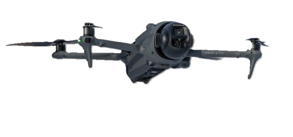
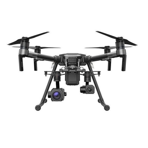
Small Single payload drones
- Small, single-payload drones capable of carrying up to 6kg are typically industrial-grade, enterprise platforms designed for heavy-lift tasks in specialized industries.
- These drones often feature advanced obstacle detection (LiDAR and mmWave radar) and are built to operate in harsh conditions with high IP ratings, such as IP55.
- Drones with a 7kg payload capacity are typically classed as commercial or industrial “workhorse” UAVs. They bridge the gap between lightweight consumer models and massive cargo drones, making them ideal for carrying professional-grade sensors or small logistics loads
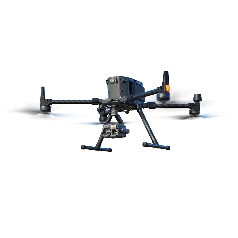
Small Multi-payload drones
- Key Uses for Multi-Payload Drones:
- Environmental Monitoring & Management: They are deployed for studying glaciers, monitoring water conservation, and mapping vegetation
- Large-Scale Mapping & Surveying: They support heavy, survey-grade sensors like the Zenmuse L2 LiDAR or P1 photogrammetry camera for creating detailed 3D models and digital twins in mining, construction, and urban planning.
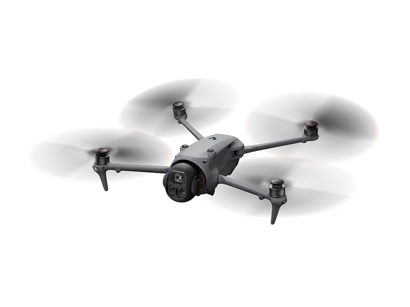
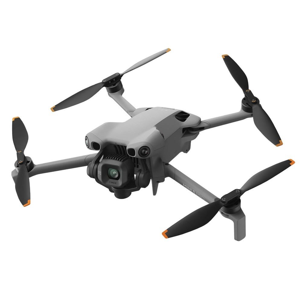
Very Small Drones
- Very small drones (sub-250g to 2kg) are widely used for commercial uses due to their agility, portability, and reduced regulatory requirements. Their ability to fly close to structures, fly indoors, and operate safely near people makes them invaluable for high-precision, low-risk, close-up aerial operations.
- Commercial Photography and Filming: Small, high-quality camera drones (like the DJI Neo or Mini series) are used for “selfie” photography, social media content, and quick, low-altitude aerial shots.
Micro Drones
- Micro drones (typically under 250g) are extensively used commercially for indoor/confined space inspections, and close-proximity aerial photography & videography. Their small size allows for safe operation near people and inside infrastructure like chimneys, silos, and industrial machinery.
“Drone imaging and mapping can be one of the single greatest anaylsis and promotional tools that you can use to build your business and direct it in the right direction”
Geoff Potts
CEO, Envirodrones